Language

Our Mission
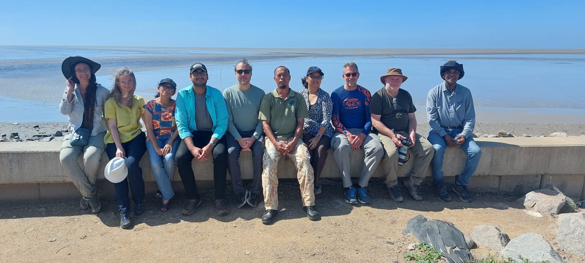
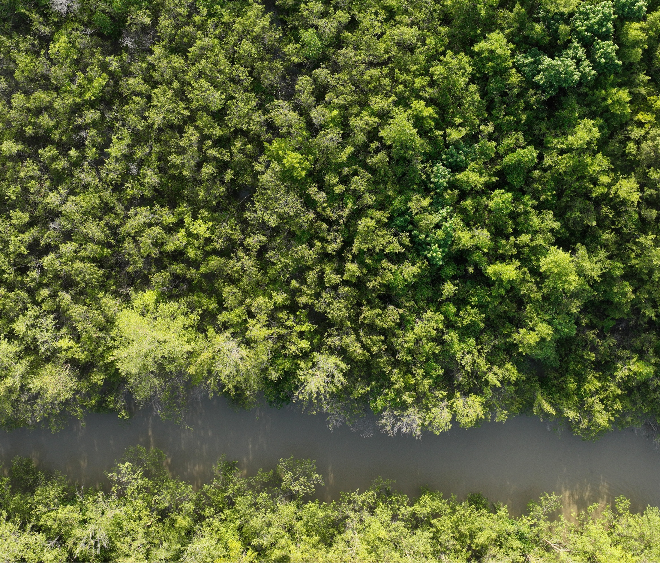
The challenge of coastal protection and mangrove restoration in Suriname and Guyana is elaborate, complex, and time consuming. EHNANCES aims to provide a shared-understanding of how the local coastline changes in response to particular ocean and weather events, and provides a platform for equitable discussion on possible solutions.
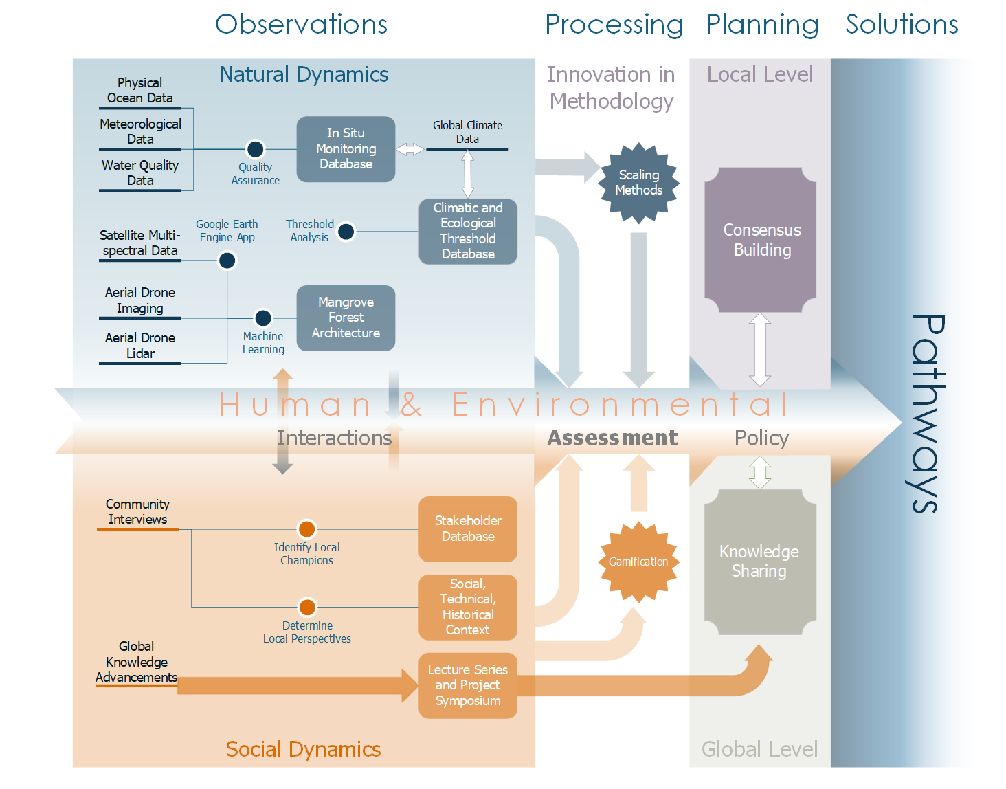
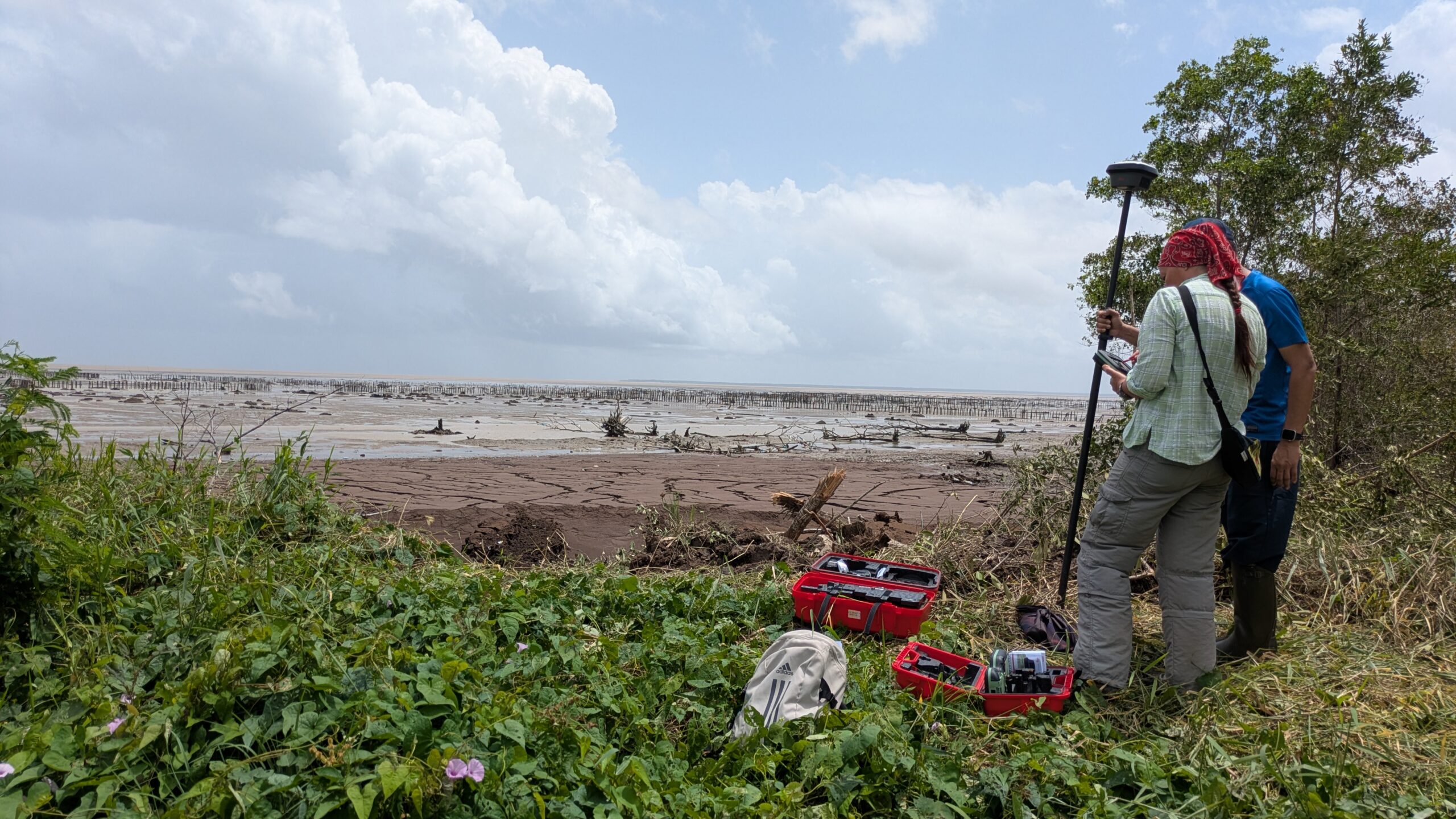
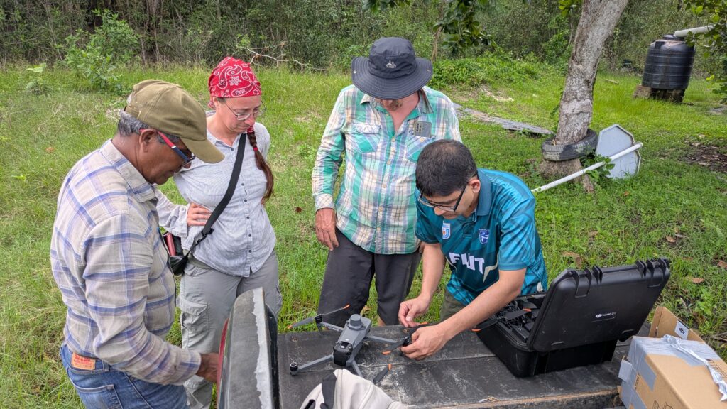
The chart below illustrates the philosophy behind ENHANCES and how we hope to provide data surrounding the to support evidence-based discussions on coastal management. Natural data from the coast of Suriname is being collected a several temporal and spatial scales. This data will be analysed and scaled using novel methods in UAV and satellite imaging. Social data, collected from community members in Suriname, help inform the gamification process, developing a serious game as a tool to enhance communication surround the topics of coastal management.
With these components, we will facilitate evidence-based discussions around coastal protection in Suriname and Guyana that account for the human-environmental interface of this complex problem, leading to consensus building at the local level, knowledge sharing on a global level, and future pathways towards solutions.