Language


Forest Monitoring with Satellites
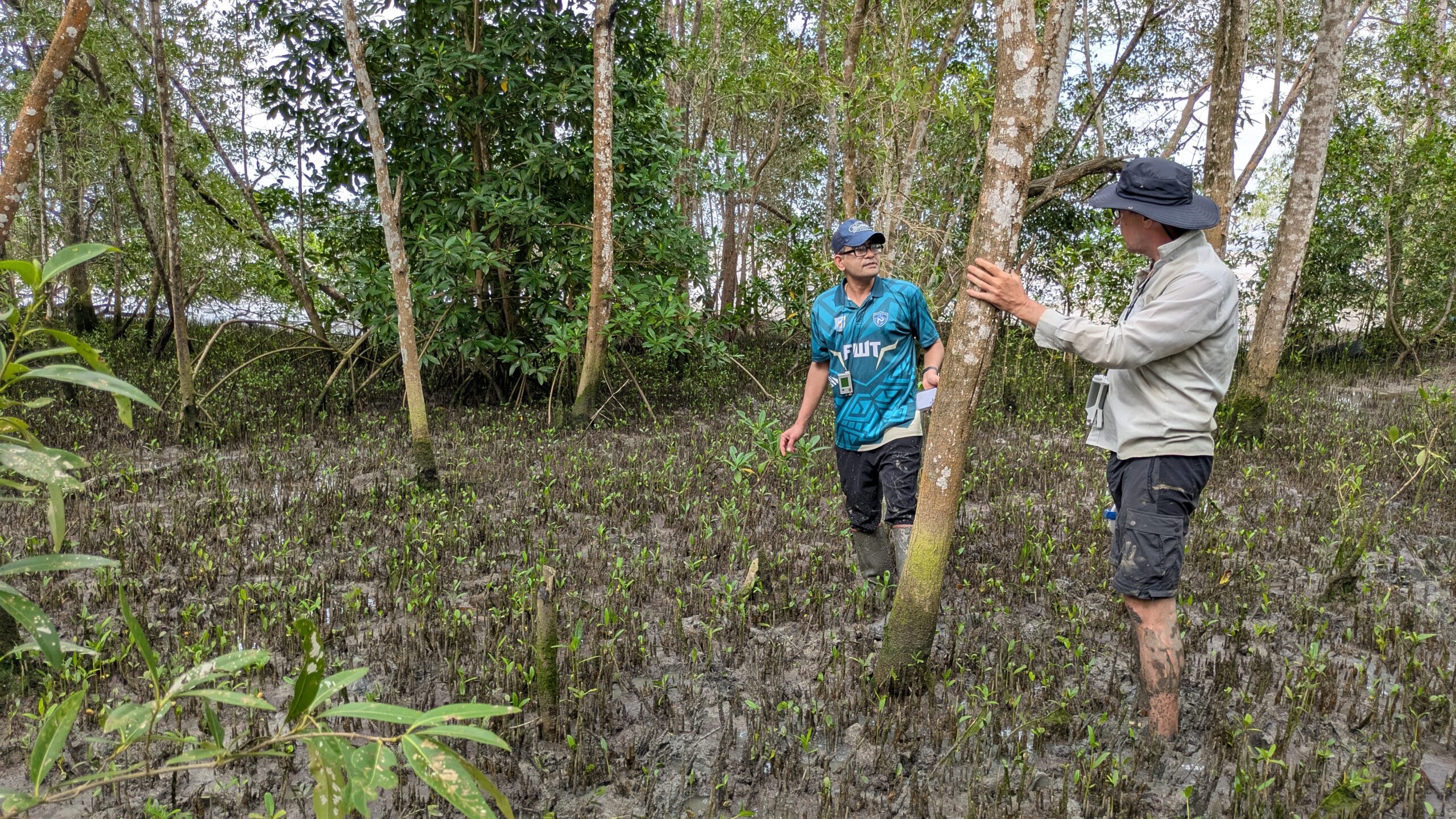
ENHANCES will establish a remote monitoring methodology to track changes in mangrove ecosystem species composition by using spectral identification methods and applying these to high-resolution satellite imagery, enabling researchers to track changes in mangrove forest location and composition around the world. This data will be processed using the Google Earth Engine, and both the data and code will be shared publicly to facilitate interaction, validation, and long-term use.
Here is a demonstration of the Google Earth Engine App currently in development. The slider shows the difference in mangrove forest extent (in red) at the Coronie weather station between September, 2019 (left) and September, 2024 (right).