Language


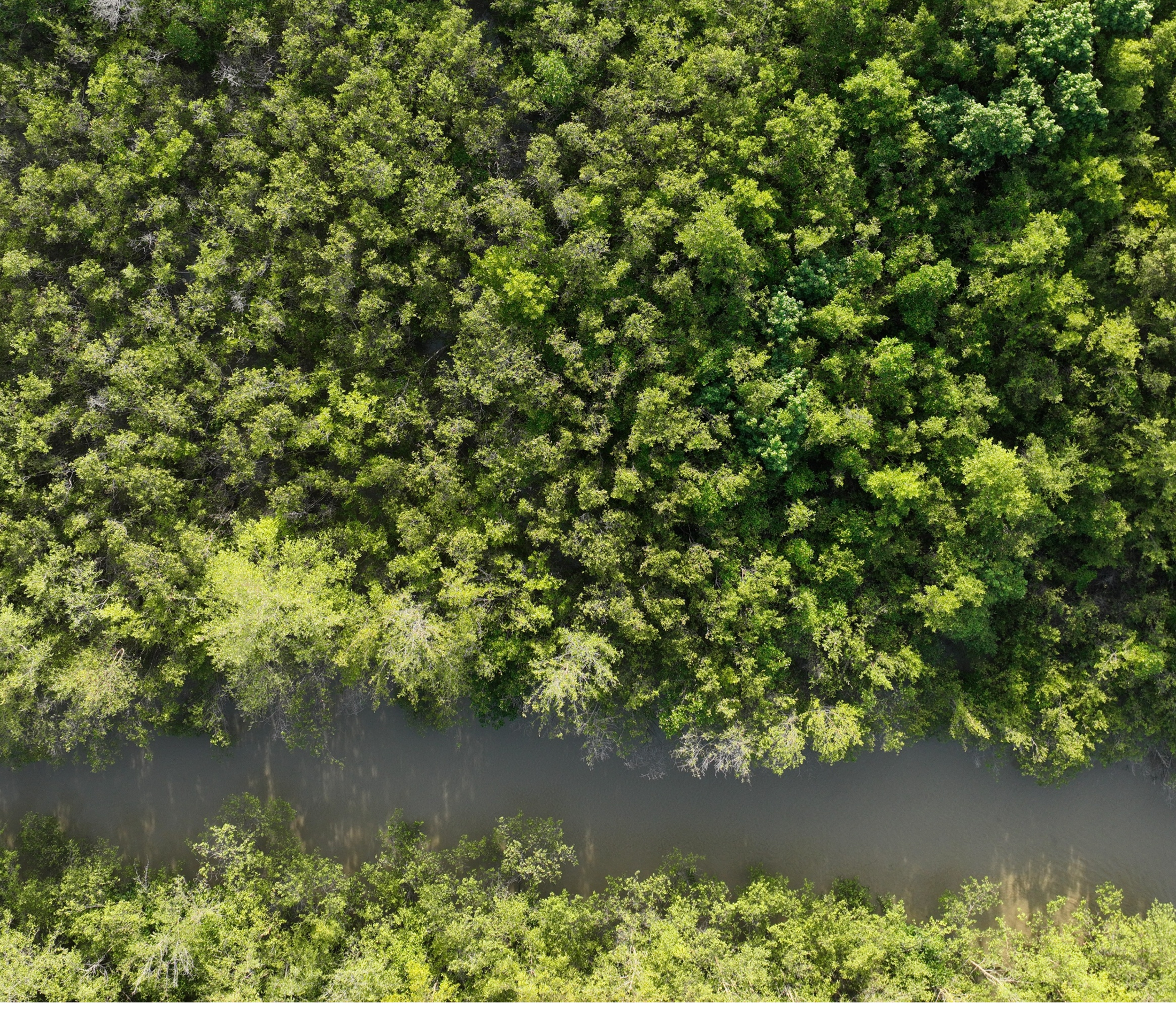
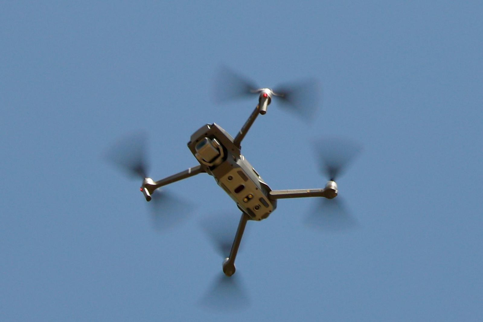
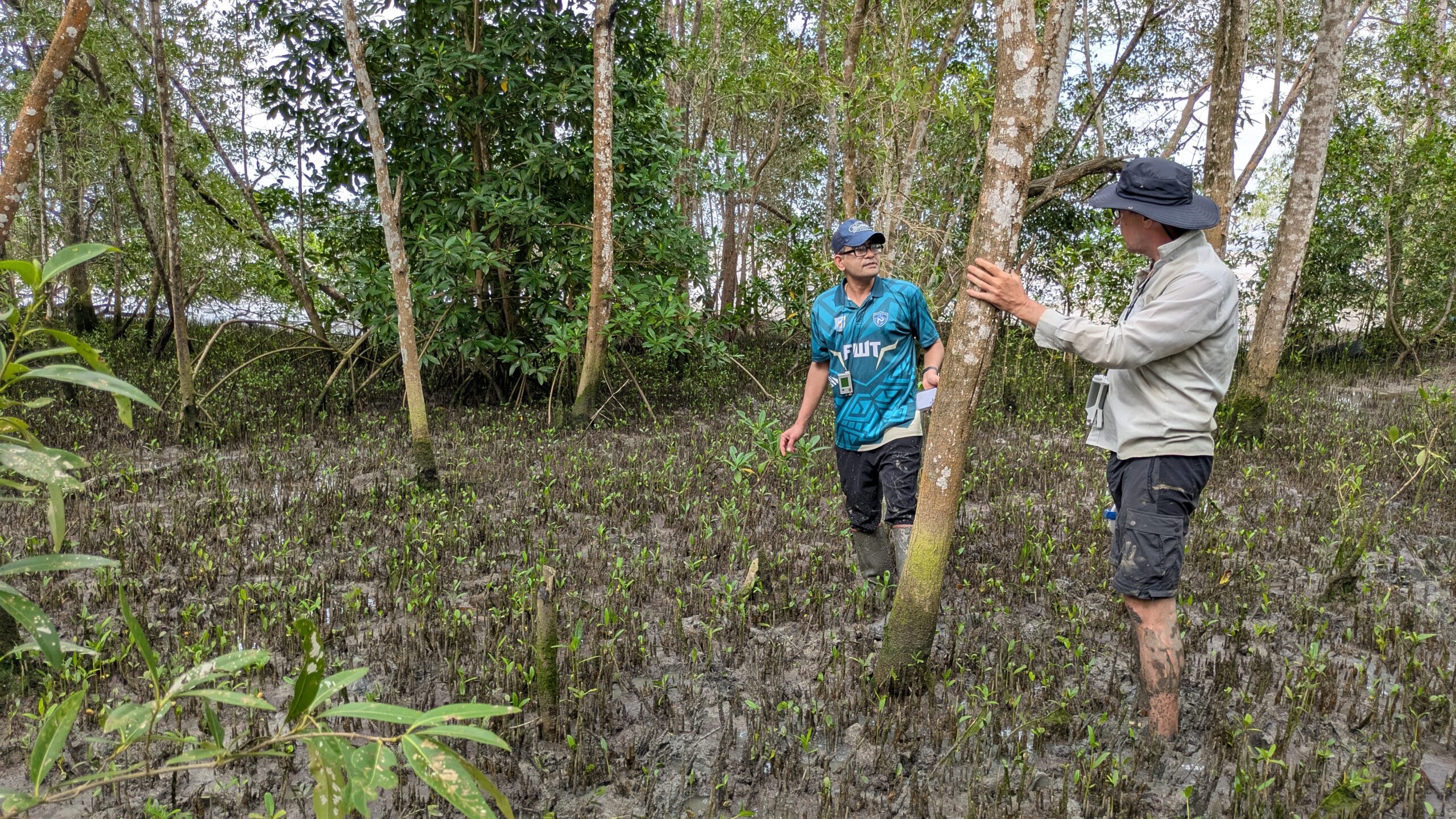
Forest Assessment with Drones
Utilizing novel optical and multi-spectral imaging techniques, ENHANCES will map and monitor mangrove types at the tree and forestry canopy scale. Our team of experts will employ machine learning alongside a sensor- fusion technique that can identify individual species of mangrove based on canopy reflectance at a 99% confidence level.
In addition to mangrove species composition, ENHANCES will also gather high-resolution surface elevation data from drone-mounted LiDAR. The accumulated data will be processed using an automated pipeline that will put mangrove tree health and sediment erosion data in the hands of stakeholders.